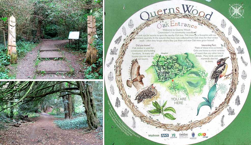
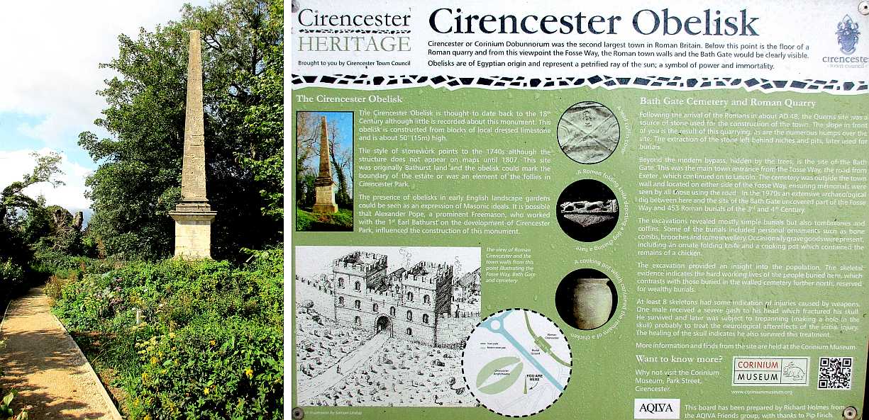
 Your browser probably allows you to enlarge the image so that the print can be viewed, but for convenience the main texts are set out here -
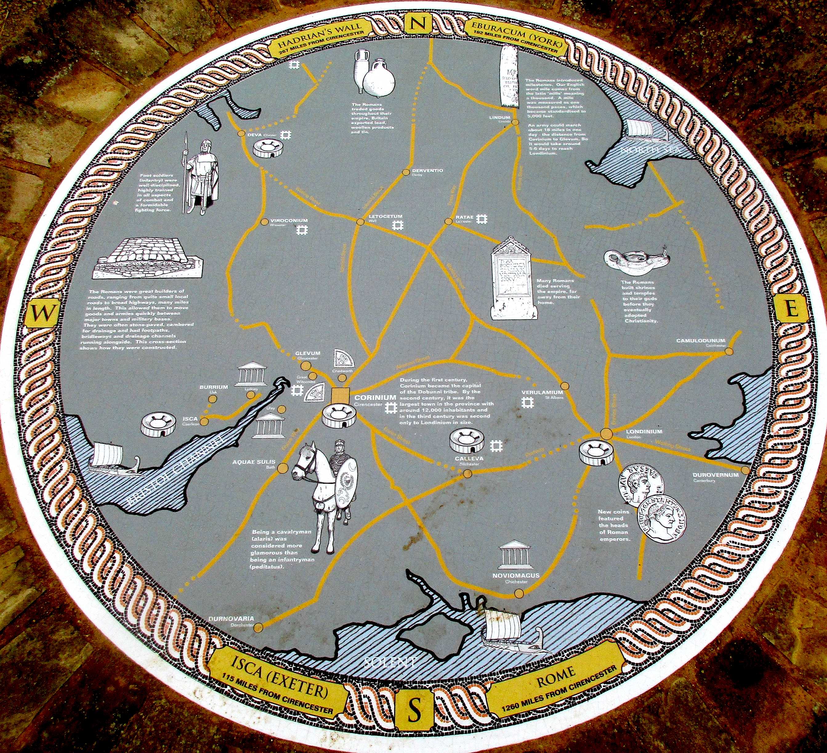 • The Romans introduced milestones. Our English word miles comes from the Latin 'mille' meaning a thousand. A mile was measured as one thousand paces, which became standardised to 5,000 feet. An army could march about 18 miles in one day - the distance from Corinium to Glevum, so it would take 5-6 days to reach Londinium.
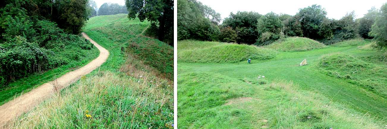

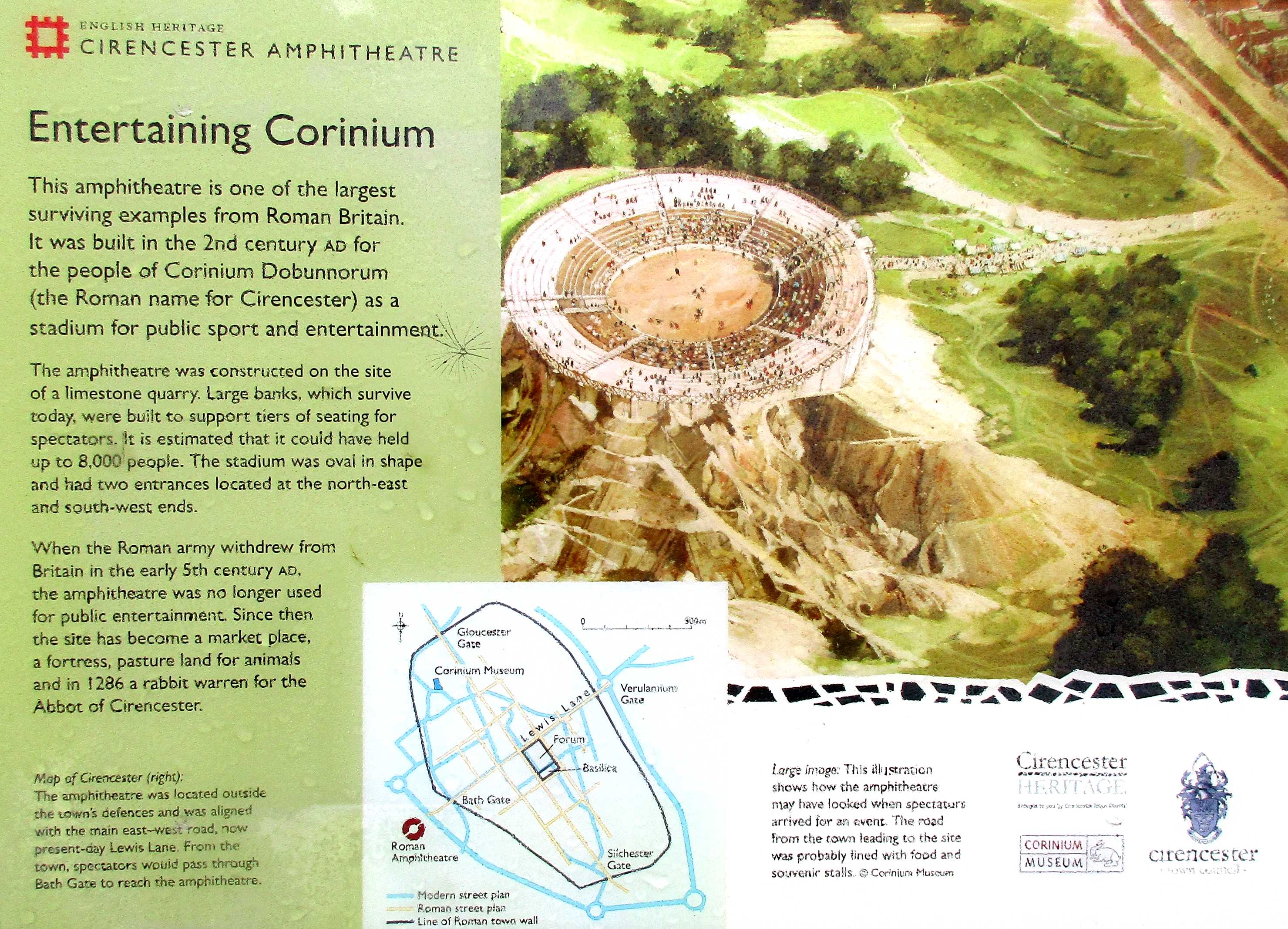
| Map of Cirencester The amphitheatre was located outside the town's defences and was aligned with the main east-west road, now present-day Lewis Lane. From the town, spectators would pass through Bath Gate to reach the amphitheatre. |
Large image The illustration shows how the amphitheatre may have looked when spectators arrived for an event. The road from town leading to the site was probably lined with food and souvenir stalls. © Corinium Museum. |
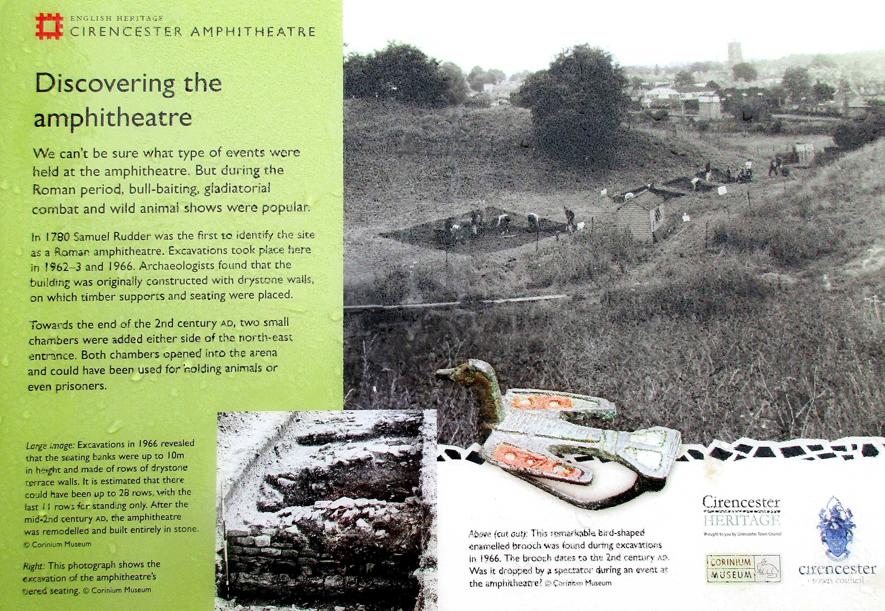
| The photograph shows the excavation of the amphitheatre's tiered seating. © Corinium Museum. | The remarkable bird-shaped enamel brooch was found during excavations in 1966. The brooch dates to the 2nd century AD. Was it dropped by a spectator during an event at the amphitheatre? © Corinium Museum. |
