RENDCOMB WALK
Lisa and Grandpa :: Woody and Tess
2nd of March, 2023
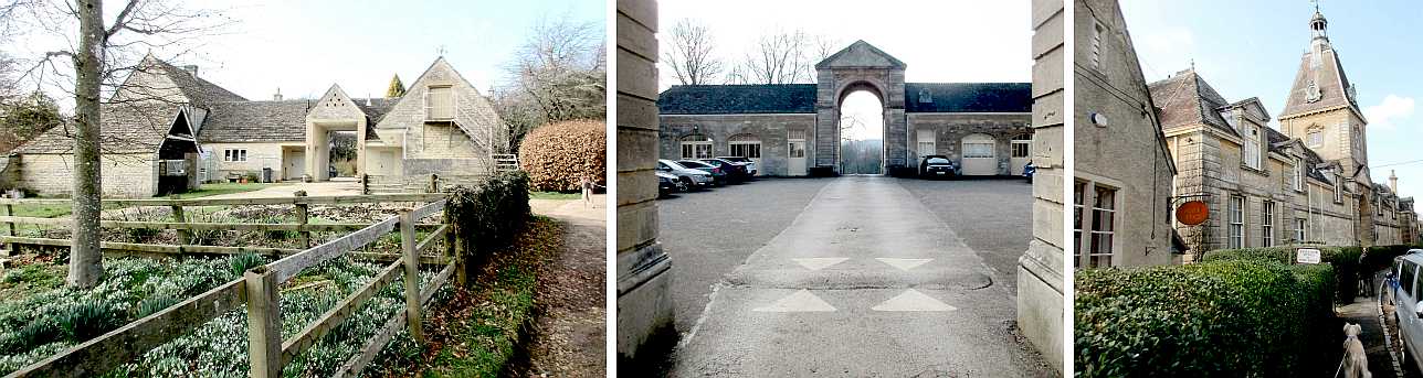
Rendcomb is a compact Cotswold village consisting largely of the Rendcomb College manor and estate. It is just off the A435, midway between Cirencester and Cheltenham.
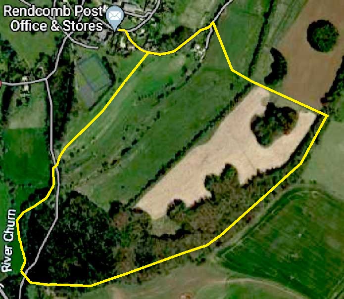
Having parked in the village we followed Lisa's online Ordnance Survey instructions to join a public footpath which we pursued as an anticlockwise circuit.
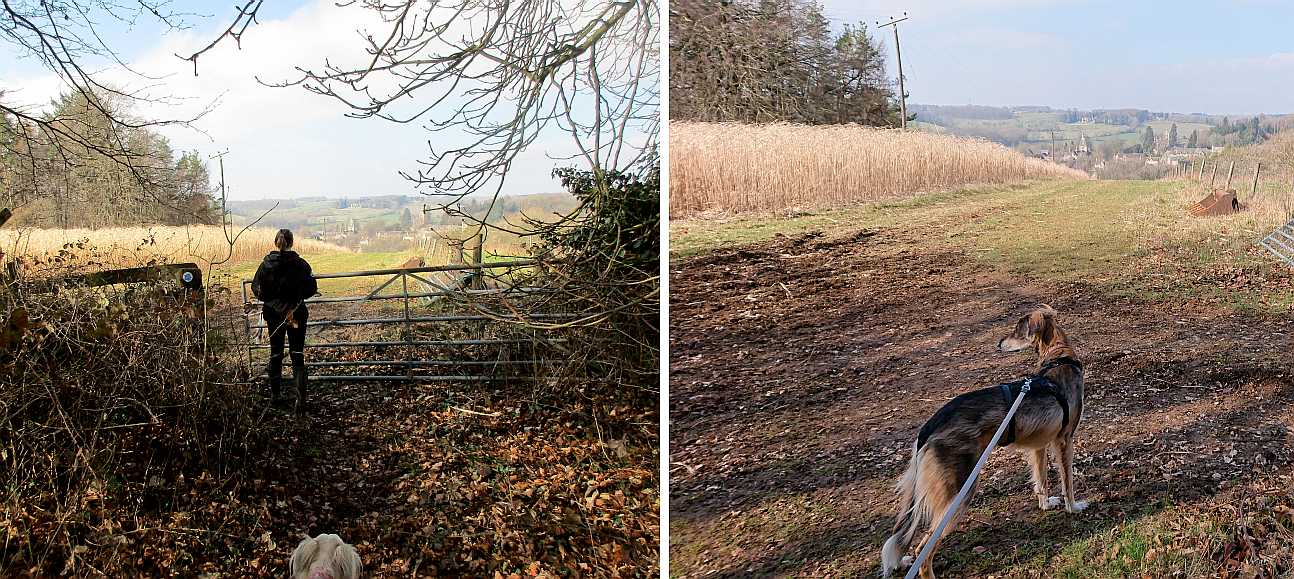
The first, easy section consisted of smooth pasture from the edge of the village, gradually descending to cross "The Drive" minor road via a used-to-swing metal gate.
There was a short section of muddy thicket to reach the upper edge of the Churn riverside meadows.
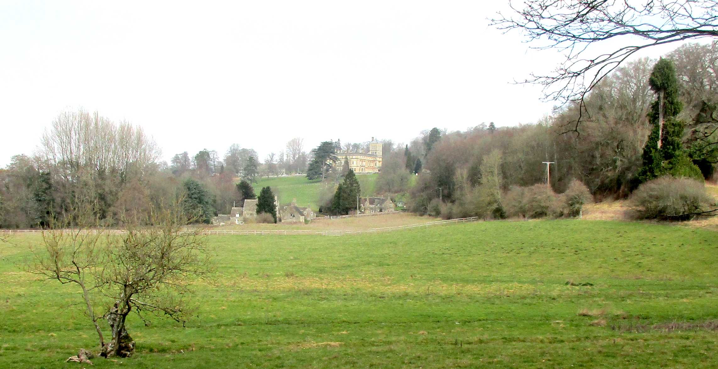
Dominating the upper valley was the original Manor House, now the main campus of the century-old Rendcomb College.
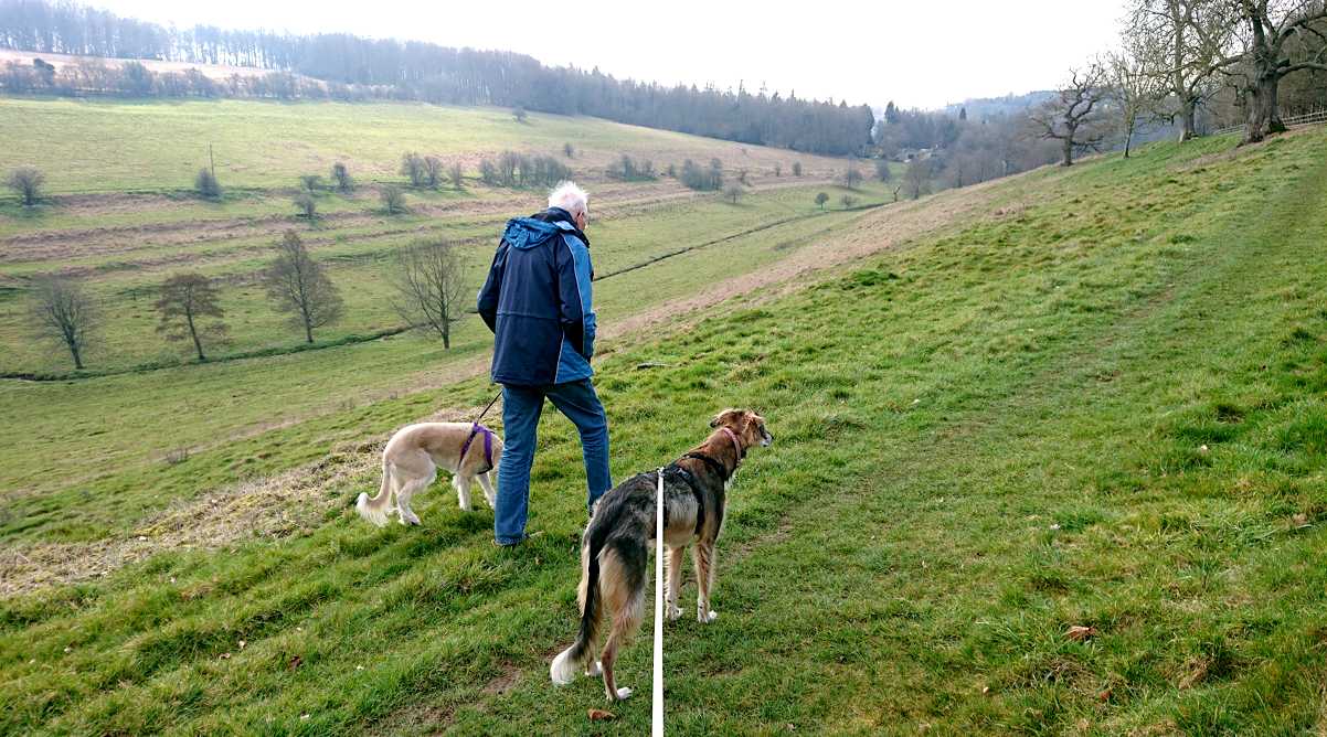
Next came the rewarding hard work! The chief feature of the walk was the climb from river valley to Cotswold crest. Tess helped Grandpa with the ascent.
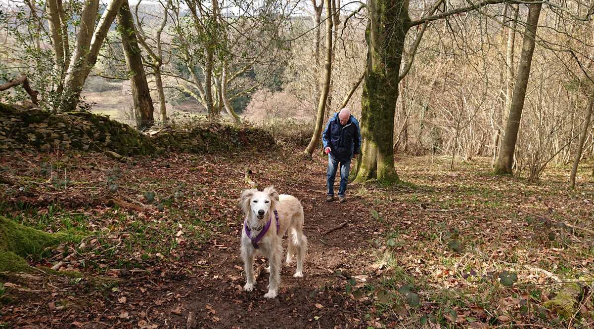
Mainly beech and hazel with a variety of other species, the ground flora will evidently be a mass of bluebells in due season. The path had been kept clear by the tramping of boots and hooves.
(Just off, to the right of our path but not visited, was the Rendcomb Airfield.)
The woodland crest afforded views back down to our starting point.
We were mystified by a field alongside the woodland which had what appeared to be a permanent unused crop of reeds - visible even on the satellite view in the map above.
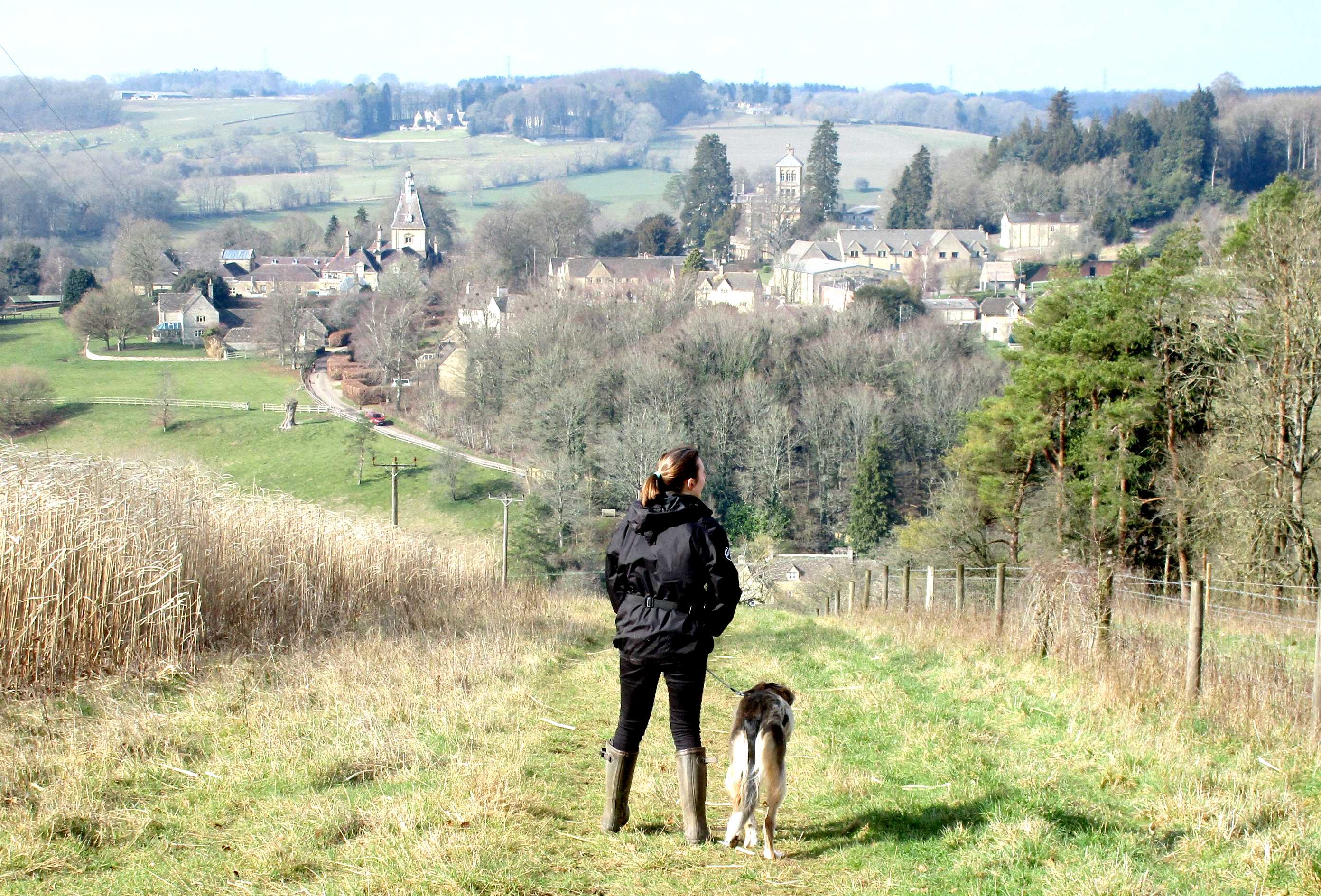
The next few yards provided the best panorama of Rendcomb village nestling in its valley and largely sheltered with mature trees.
As for the footpath - it was all downhill next, perhaps a bit too far because there was then a final rise -
- back to the village and the parked car.
A memorable morning!